

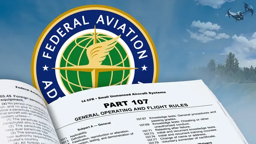
FAA PART 107 CERTIFIED


FULLY INSURED


NATIONWIDE COVERAGE


PRE-FLIGHT RISK ASSESSMENT EVERY JOB


STADIUM TFR & NIGHT OPS AUTHORIZED
WHO WE ARE
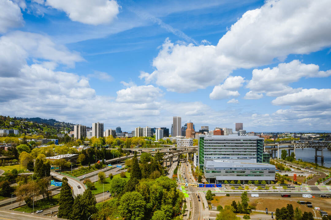
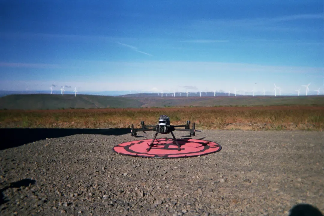
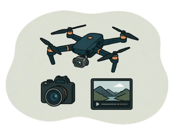
Drone Videography and Photography Services Built for High-Stakes Environments
Looking to hire a drone photographer who can capture sharp, professional aerial visuals with safety and precision? Cascade Flight provides FAA Part 107 licensed drone photography services for construction sites, energy and utility projects, live sports, events, real estate, marketing campaigns, and commercial properties.
Based in the Pacific Northwest and available nationwide, our fully insured pilots deliver high-quality aerial photos and video that help your team document progress, showcase your work, promote your brand, or capture a unique perspective from above. Ready to get started? Request a consultation or get a quote today.
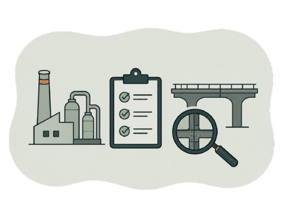
Areas of Expertise
Industries We Serve
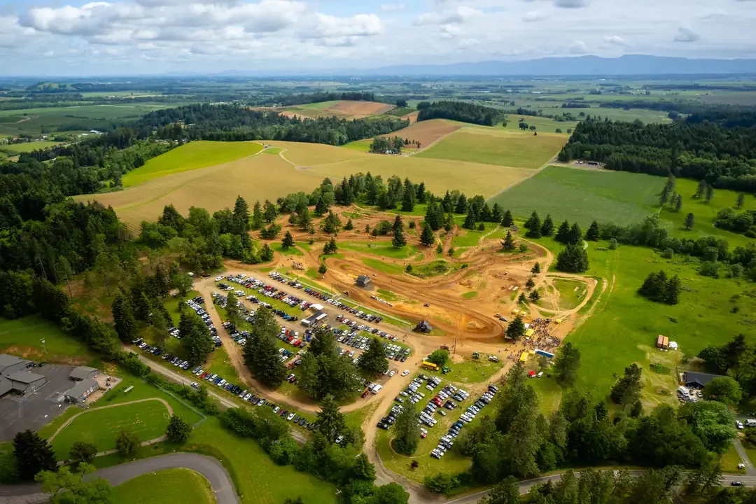
From stadium flybys to solar farm inspections - Cascade Flight
operates across the industries where aerial data matters most.

Ready to Discuss Your Project
Every mission starts with a free consultation. Let's start about what you need.
Client Reviews
What Our Clients Say
What We Deliver
What We Deliver
Drone technology today is a business tool, not just a camera in the sky. Cascade Flight provides operationally valuable deliverables designed to support decision-making, documentation, compliance, and storytelling.
Service 01
Drone Videography and Photography Services
High-resolution drone imagery provides clarity, scale and visual authority. We deliver broadcast quality footage that elevates every projects.
Commercial-grade aerial photography.
Cinematic 4k video
Marketing and promotional content
Cooperate branding visuals
Real estate and development showcases
Service 02
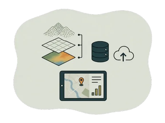
Drone Mapping & Data Capture
For construction and development teams, visuals must translate into measurable insights. Consistent aerial documentation improves transparency, strengthens reporting, and enhances project oversight from groundbreaking to completion.
2D orthomosaic mapping
3D site modeling
Progress comparison overlays
Volumetric analysis support
Site-wide documentation archives
Service 03
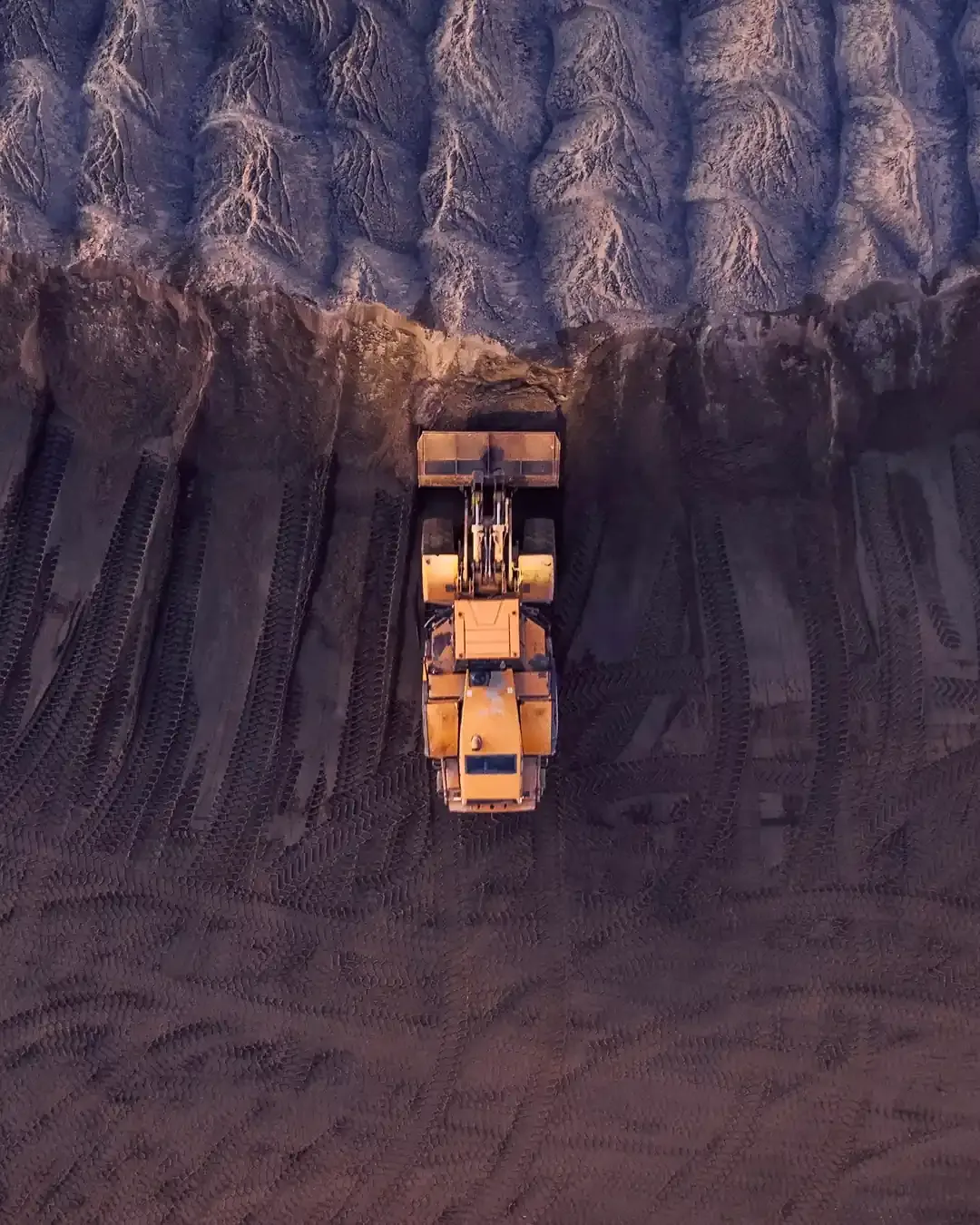
Industrial & Infrastructure Inspections
Drone inspections reduce the need for lifts, scaffolding, rope access, and exposure to hazardous conditions while capturing high-resolution imagery for evaluation.
Solar array thermal inspections (hot spots, anomaly detection)
Wind turbine blade documentation
Substation flyovers
Transmission infrastructure observation
Roof and structural inspections
Industry-Specific Drone Solutions
Industry-Specific Drone Solutions


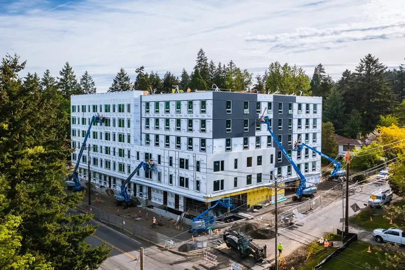
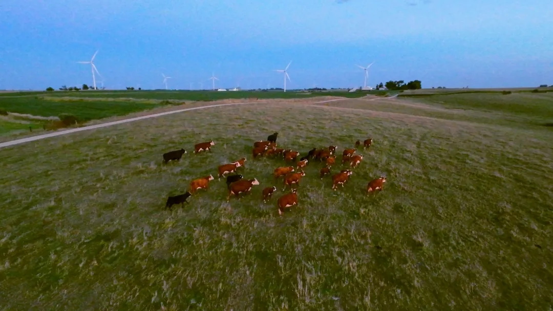
Construction Drone Services
Construction projects evolve rapidly. Our aerial documentation services provide consistent visual records and actionable data that help stakeholders stay aligned.


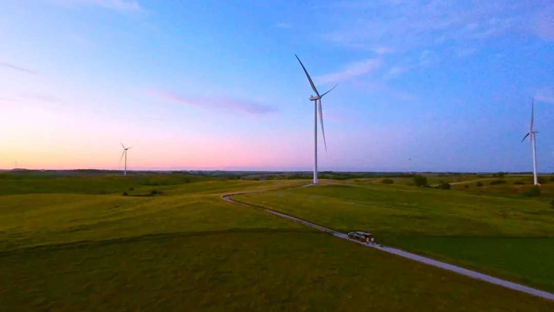
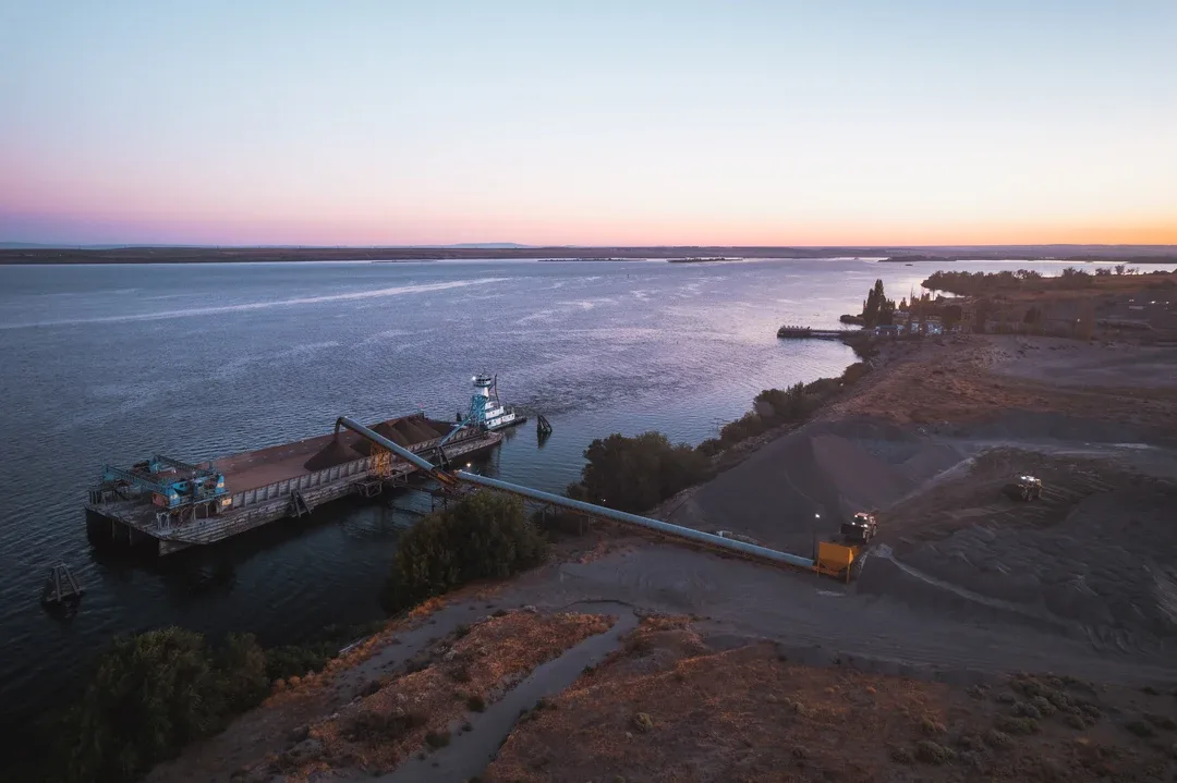
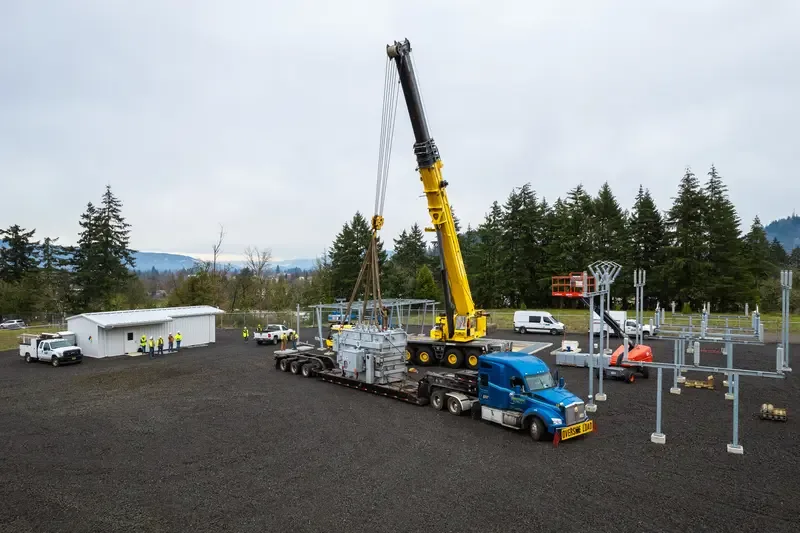
Energy & Utilities Drone Services
Infrastructure environments demand precision and regulatory awareness. Cascade Flight supports solar operators, wind facilities, and utility managers with inspection-focused aerial services.


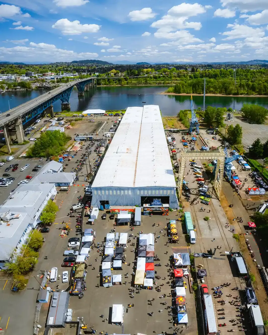
Live Sports & Broadcast Drone Services
Flying in live event environments requires advanced planning and compliance expertise. We provide broadcast-ready drone services that balance creative production and federal aviation compliance.
Why Professional Licensing & Insurance Matters
Why Professional Licensing & Insurance Matters
Commercial drone operations are federally regulated.
Hiring an unlicensed or uninsured operator can expose your organization to unnecessary liability, fines, and operational risk.
With more than 500+ documented flight hours in operational environments, we understand how to navigate complex airspace while maintaining site professionalism and regulatory integrity.
When safety and compliance matter, experience matters.
FAA Part 107 Remote Pilot Certification
Full Commercial Drone Insurance Coverage
Structured Pre-Flight Risk Assessments
Stadium TFR & Night Operations Authorization
Our Operational Process
Our Three-Phase Operational Process
Professional drone services require structured execution. Every
project follows a disciplined three-phase framework.
01
Strategic Planning & Airspace Evaluation
We begin with consultation and technical assessment.
- Define project objectives and deliverables
- Evaluate site conditions and operational risks
- Review airspace classification
- Secure necessary authorizations
- Confirm compliance requirements
Preparation eliminates uncertainty before flight operations begin.
02
Precision Flight Operations
Flights are conducted by licensed, insured pilots using professional-grade drone systems.
- On-site coordination with stakeholders
- Documented safety protocols
- Controlled airspace compliance
- Stadium TFR and night operation procedures when applicable
- High-resolution image and data capture
Execution is disciplined, efficient, and compliant.
03
Processing, Delivery & Integration
The mission concludes with organized, professional deliverables.
- High-resolution imagery processing
- Video editing and formatting
- Mapping and modeling outputs
- Structured file delivery
- Ongoing documentation scheduling for recurring clients
We provide assets that integrate seamlessly into reporting workflows, marketing systems, and broadcast environments.
Serving Portland, the Pacific Northwest & Nationwide
Cascade Flight is proudly based in Portland, Oregon, serving:
- Portland Metro, Oregon
- Beaverton, Oregon
- Hillsboro, Oregon
- Gresham, Oregon
- Vancouver, WA
- The broader Pacific Northwest
- The whole United States
For larger commercial and industrial engagements, we deploy nationwide.
Whether supporting an active construction site, conducting an energy infrastructure inspection, or delivering live broadcast coverage, our operational standards remain consistent across every location.
Drone Services – Frequently Asked Questions
Yes. We are Part 107 certified, which legally authorizes us to conduct commercial drone operations. We can provide our certificate number upon request.
Yes. We carry commercial drone liability insurance and can provide a Certificate of Insurance (COI). We can also list your company as additionally insured if required.
Yes. If your project requires controlled airspace approval (LAANC), waivers, or special permissions, we manage that process on your behalf. You don’t need to navigate aviation compliance—we take care of it.
We provide professional drone services for:
- Real estate marketing
- Construction progress tracking
- Commercial marketing campaigns
- Aerial photography and videography
Mapping and specialty imaging (when required)
If you have a unique project, we’ll evaluate the scope and recommend the best approach.
We operate professional-grade drones capable of capturing high-resolution 4K (or higher) imagery. Depending on the project requirements, we deploy cinematic drones, stabilized gimbal systems, and specialty equipment. Backup equipment is always available to ensure reliability.
If your project requires thermal inspections, roof analysis, or mapping, we can provide specialized drone solutions designed for accurate data capture. Let us know your objectives, and we’ll advise accordingly.
Standard turnaround time is typically under 5 business days, depending on project complexity. Expedited delivery options may be available if needed.
Safety and image quality both depend on weather conditions. If conditions are unsafe (high wind, rain, restricted visibility), we reschedule at no additional charge.
Every flight follows a structured pre-flight checklist, airspace verification process, weather review, and site safety assessment. We maintain a visual line of sight and follow strict operational protocols to protect people, property, and equipment.
Pricing is project-based or hourly, depending on scope. Quotes clearly detail:
- Flight time
- Editing time
- Travel (if applicable)
- Any required permits or approvals
We believe in transparent pricing without hidden fees.
Professional drone work is more than flying and filming. Cascade Flight provides:
- Legal compliance
- Commercial insurance coverage
- Professional-grade equipment
- Redundant systems and backup gear
- Structured safety protocols
- High-quality post-production
This protects your project, your property, and your brand.
Elevate Your Project with Aviation-Grade Drone Services
If your organization requires safe, compliant, and professionally executed aerial photography, Cascade Flight is ready to support your mission.